The Pacific Community (SPC) has contracted with Woolpert to acquire topographic and bathymetric lidar data and aerial imagery that can be used to develop digital elevation models for the Kingdom of Tonga. The information and derived products will support nautical charting for navigation safety, infrastructure planning and rehabilitation, and disaster resilience and recovery.
This project complements and expands on similar geospatial data acquisitions Woolpert has performed throughout the Pacific, including a project currently underway in Vanuatu. The lidar data will support various sector agencies including the Ministry of Meteorology, Energy, Information, Disaster Management, Environment, Climate Change and Communications (MEIDECC); Ministry of Lands, Survey and Natural Resources; Ministry of Infrastructure; and Tonga Ports Authority.
The project is part of SPC’s Pacific Resilience Program, funded by the World Bank, which is working to strengthen early warning systems and enhance natural disaster and climate change resilience across Pacific Island countries prone to natural disaster events such as cyclones, storm surges, coastal inundation, earthquakes and tsunamis. In January 2022, Tonga was the site of the world’s most powerful volcanic eruption in 30 years when Hunga Tonga-Hunga Ha’apai unexpectedly erupted, generating atmospheric waves and tsunamis across the Pacific Ocean. A reported estimate of 85,000 people in Tonga were impacted by the event, which caused $90 million USD in damages.
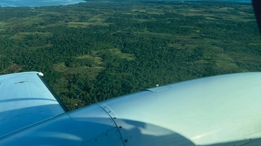
Woolpert is employing data, imagery and resources from multiple partners to optimize the utilization and application of this collection. Satellite imagery collected by Planet, a Woolpert partner, following the eruption is helping determine whether water clarity is suitable for Woolpert to proceed with required bathymetric lidar acquisition components. The topo-bathymetric lidar data and imagery is being acquired with survey aircraft provided by Kiwi Air, an aviation firm based in New Zealand.
Constance Solemani, Woolpert geospatial project manager, noted that the new data may support change detection analysis when compared to data previously collected for Tonga in 2018. This comprehensive dataset will help measure and monitor the full impact of this disaster, support future impact-based forecasting, identify transport paths for better emergency management, reduce risks to these vulnerable communities and refine disaster resilience planning.
The acquisition in Tonga is expected to be complete by July, with final delivery scheduled for October.
